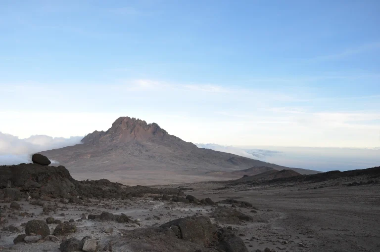
8 Days Lemosho Route Kilimanjaro Climb
Home | 8 Days Lemosho Route Kilimanjaro Climb
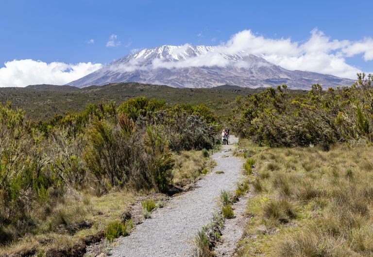
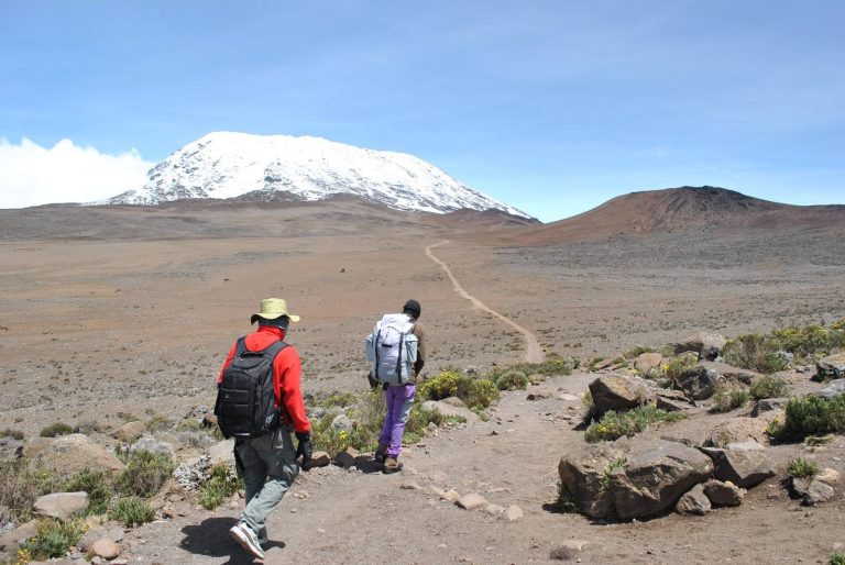
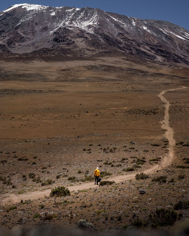
The 8 Days Lemosho Route Kilimanjaro Climb is one of the most scenic, gradual and rewarding ways to reach Uhuru Peak, the highest point in Africa.
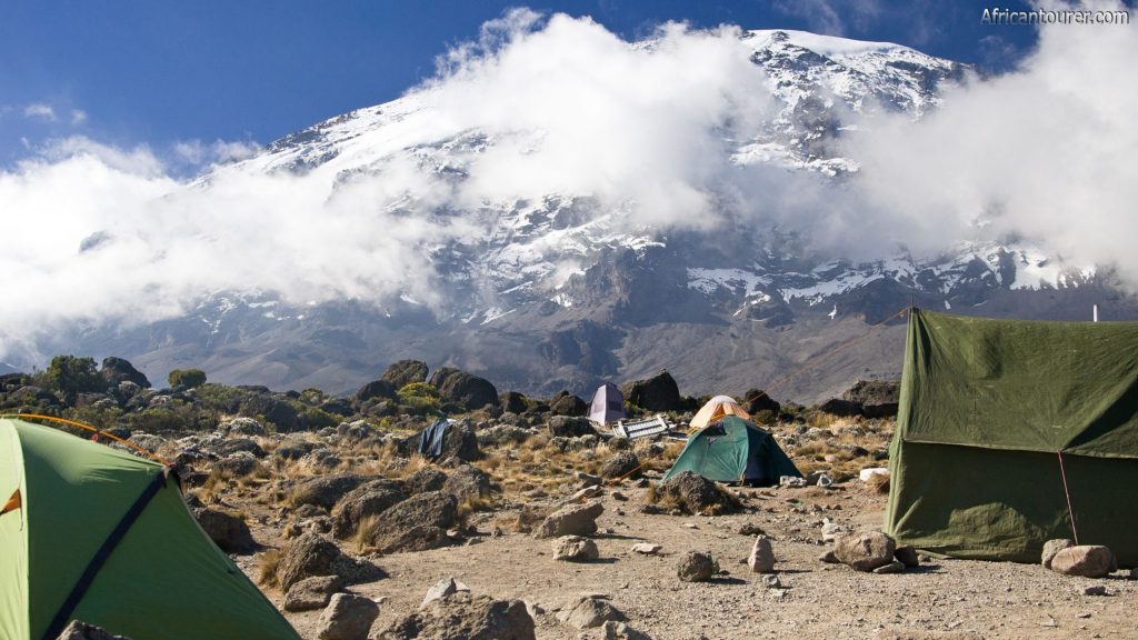
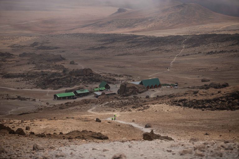
Beginning on the remote western side of Mount Kilimanjaro, the route passes through rainforest, heath and moorland before crossing the expansive Shira Plateau. It then joins the southern circuit beneath Kibo, continuing past Lava Tower, Barranco Valley, Karanga Camp and Barafu Camp before the overnight summit attempt.
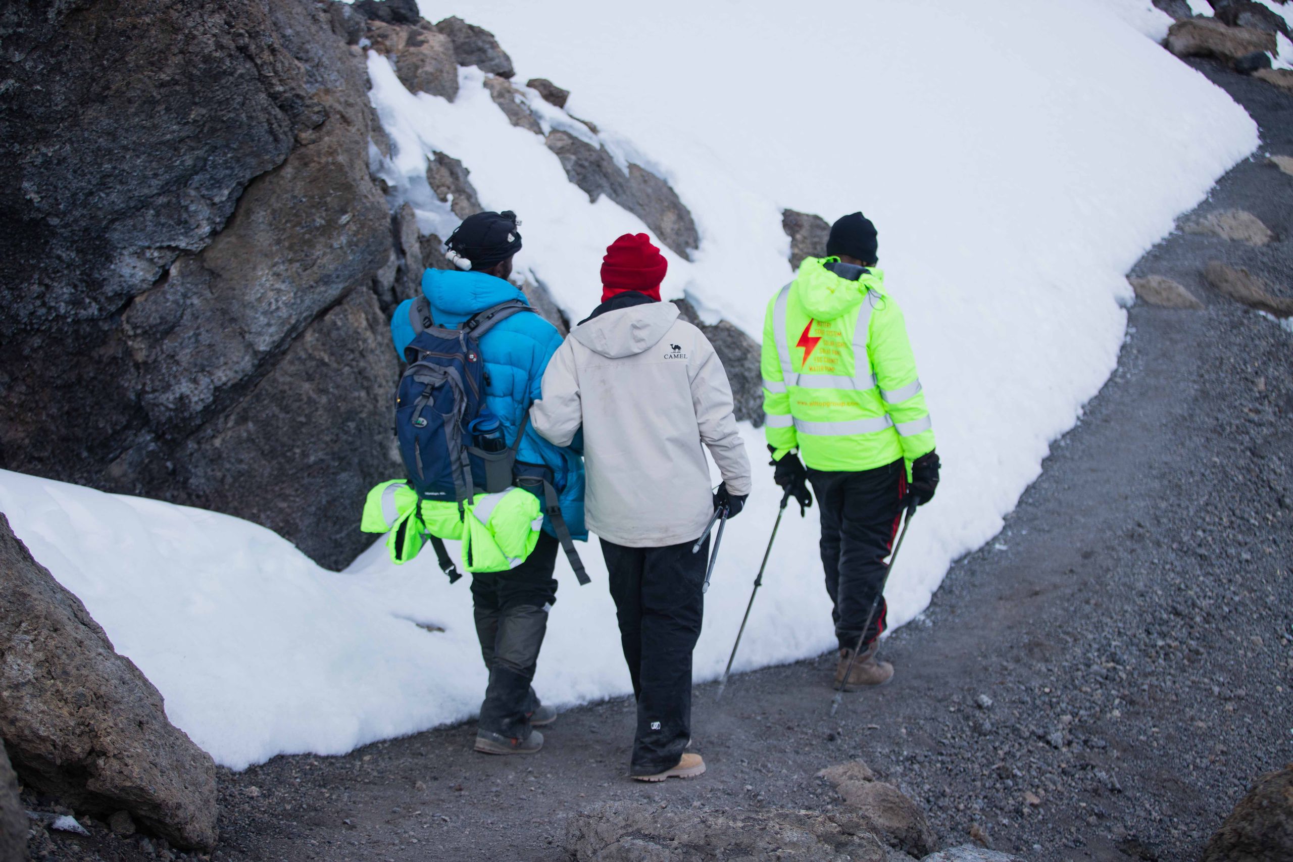
Lemosho Route Highlights
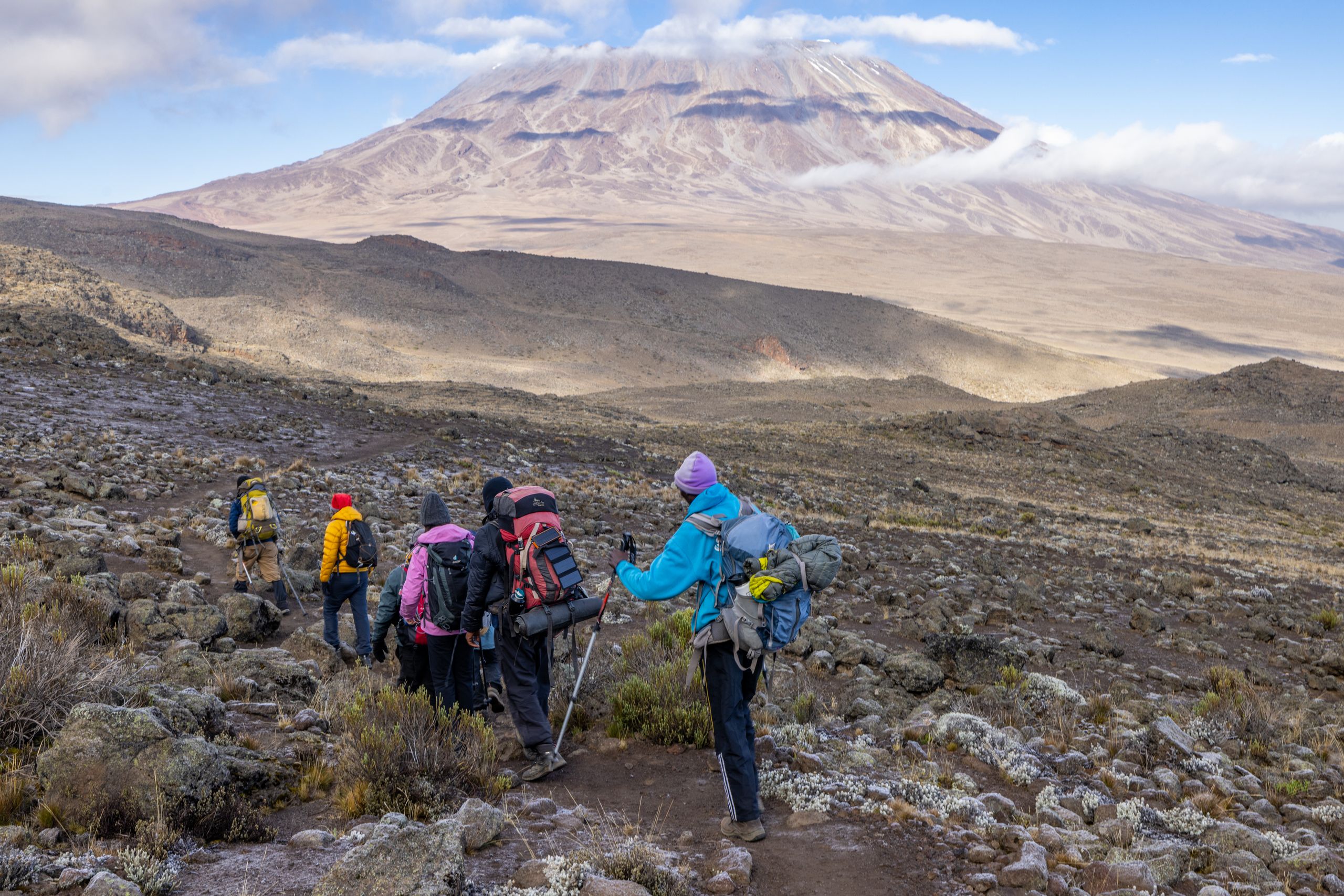
- Remote western approach with quieter mountain trails
- Tropical rainforest and diverse mountain ecosystems
- Shira Plateau crossing with panoramic views of Kibo and Mount Meru
- Lava Tower acclimatization experience
- Climb-high, sleep-low acclimatization profile
- Barranco Valley and iconic Barranco Wall ascent
- Overnight summit attempt to Uhuru Peak
- Scenic Mweka descent through changing landscapes
Safari Seasons & Pricing
Interested in this safari?
Get in touch with our travel experts for a personalized quote tailored to your preferences and travel dates.
Inquire NowRoute Itinerary
Make an InquiryEssential Equipment
- Waterproof trekking boots
- Warm sleeping bag
- Waterproof jacket
- Waterproof trousers
- Down jacket
- Thermal clothing
- Warm gloves
- Sun hat
- Sunglasses
- Headlamp
- Trekking poles
- Daypack
- Duffel bag
- Water bottles
- Sunscreen
- Lip balm
- Camera
- Personal medications
and many more…
Londorossi Gate to Mti Mkubwa Camp
Londorossi Gate to Mti Mkubwa Camp • Into the Rainforest

Starting Altitude: Approximately 2,100 metres at the gate
Trailhead Altitude: Approximately 2,300–2,400 metres
Finishing Altitude: Approximately 2,780 metres
Walking Time: Approximately 3–5 hours
Habitat: Tropical rainforest
After breakfast at your hotel, meet your Kilimanjaro guide and support team.
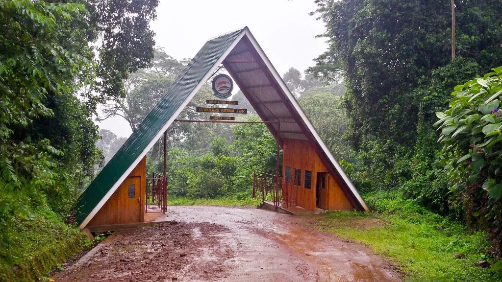
Drive toward Londorossi Gate on the western side of Mount Kilimanjaro.
The journey passes through rural communities, farmland and forested landscapes.
At the gate, your guide completes registration while porters organize food, tents, equipment and permitted personal luggage.
After registration, continue by vehicle to the trailhead, subject to road conditions and current park procedures.
Begin walking through the rainforest.
The trail may be wet, muddy and uneven.
The forest environment may contain:
- Tall trees
- Ferns
- Moss
- Vines
- Wildflowers
- Birds
- Blue monkeys
- Black-and-white colobus monkeys
Wildlife sightings cannot be guaranteed.
Because this is the first day, the guide will establish a slow and steady pace.
Walking pole pole from the beginning helps conserve energy and supports the gradual transition to altitude.
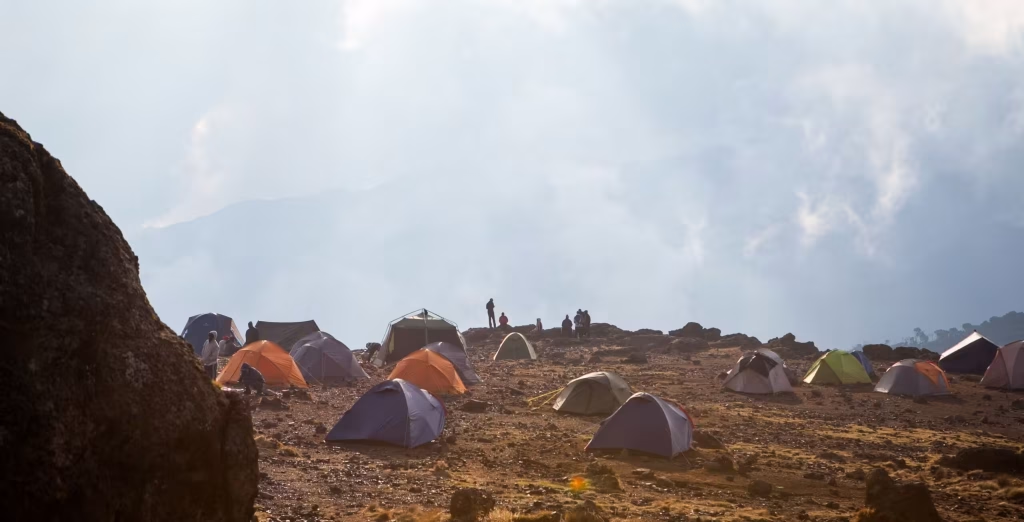
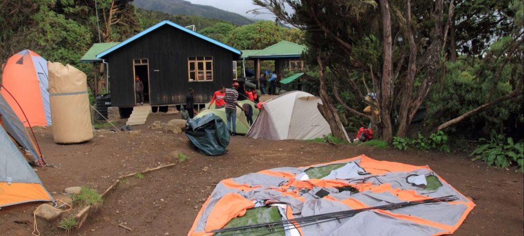
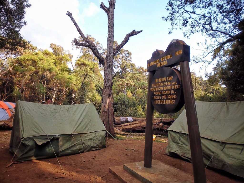
Arrive at Mti Mkubwa Camp, sometimes known as Big Tree Camp.
The crew will have prepared the tents and dining area.
After changing into warm clothing, attend the evening briefing and health check.
Dinner and overnight at Mti Mkubwa Camp.
Mti Mkubwa Camp to Shira 1 Camp
Mti Mkubwa to Shira Camp • Entering the Highlands

Starting Altitude: Approximately 2,780 metres
Finishing Altitude: Approximately 3,500 metres
Walking Time: Approximately 5–7 hours
Habitat: Rainforest, heath and moorland
After breakfast, continue upward through the upper forest.
The vegetation gradually begins to thin as the trail enters the heath and moorland zone.
The route may include steeper sections as it climbs toward the Shira Ridge.
As the landscape opens, enjoy possible views of:
- Shira Plateau
- Mount Meru
- Western Kilimanjaro
- Kibo summit dome
- Surrounding lowlands
The trail crosses volcanic terrain, ridges and open slopes.
Altitude becomes more noticeable during the day, and some climbers may experience mild fatigue or shortness of breath.
Maintain a slow pace and report any headache, nausea, dizziness or unusual weakness.
Arrive at Shira 1 Camp on the western side of the Shira Plateau.
The camp offers broad views across one of Kilimanjaro’s most impressive high-altitude landscapes.
Dinner and overnight at Shira 1 Camp.
Shira 1 Camp to Shira 2 Camp
Shira Plateau • Ancient Volcanic Landscapes

Starting Altitude: Approximately 3,500 metres
Finishing Altitude: Approximately 3,850 metres
Walking Time: Approximately 4–6 hours
Habitat: Moorland
After breakfast, begin crossing the Shira Plateau.
This is generally a more gradual trekking day, allowing climbers to enjoy the scenery and continue adapting to altitude.
The plateau forms part of an ancient volcanic caldera and offers wide, open views.
Depending on weather and trail selection, the route may pass nearby:
- Shira Cathedral
- Rocky outcrops
- Moorland vegetation
- Seasonal streams
- Volcanic formations
- Open grassland
- Views toward Kibo
Your guide may include an additional acclimatization walk or route variation before reaching Shira 2 Camp.
The purpose of this day is not simply to move between camps but to spend useful time at moderate altitude.
Arrive at Shira 2 Camp in the afternoon.
Rest, hydrate and attend the evening health check.
Dinner and overnight at Shira 2 Camp.
Mountain Expert Tip
A day that feels physically easier can still be important for acclimatization. Use the opportunity to walk slowly, eat well and build energy for the higher sections.
Shira 2 Camp to Lava Tower and Barranco Camp
Lava Tower Acclimatization • Descent to Barranco Valley

Starting Altitude: Approximately 3,850 metres
Highest Point: Approximately 4,600 metres
Finishing Altitude: Approximately 3,950 metres
Walking Time: Approximately 6–8 hours
Habitat: Moorland and alpine desert
Today is one of the most important acclimatization days of the expedition.
After breakfast, continue eastward toward Lava Tower.
The landscape becomes increasingly dry and exposed as the route enters the alpine desert.
The trail climbs gradually through volcanic terrain.
Some climbers may experience:
- Headache
- Fatigue
- Reduced appetite
- Mild nausea
- Shortness of breath
- Dizziness
- Slower movement
All symptoms should be reported honestly to the guide.
Reach Lava Tower at approximately 4,600 metres.
Depending on weather and group progress, stop for lunch or a short break.
The route then descends into Barranco Valley.
This creates one of the most valuable climb-high, sleep-low profiles on the mountain.
Vegetation gradually returns during the descent, with giant groundsels and lobelias appearing near the valley.
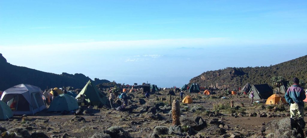
Arrive at Barranco Camp beneath the Barranco Wall.
When conditions are clear, enjoy views of the southern glaciers, Kibo and the surrounding valley.
Dinner and overnight at Barranco Camp.
Barranco Camp to Karanga Camp
Barranco Camp to Karanga • Upper Mountain Trails

Starting Altitude: Approximately 3,950 metres
Finishing Altitude: Approximately 4,035 metres
Walking Time: Approximately 4–6 hours
Habitat: Alpine desert
After breakfast, begin climbing the Barranco Wall.
The wall appears steep from camp but is normally crossed through guided scrambling rather than technical climbing.
Climbers may use their hands for balance on some sections.
Guides and assistant guides provide support through narrow or exposed points.
The route may become busy during peak season, so patience is essential.
At the top, stop to enjoy views across the southern side of Kilimanjaro.
Continue through a series of ridges and valleys.
Although the net altitude gain is small, the repeated descents and climbs make the day physically demanding.
Cross the Karanga Valley and complete the final ascent to Karanga Camp.
Arrive in time to rest, hydrate and prepare for the upper mountain.
Dinner and overnight at Karanga Camp.
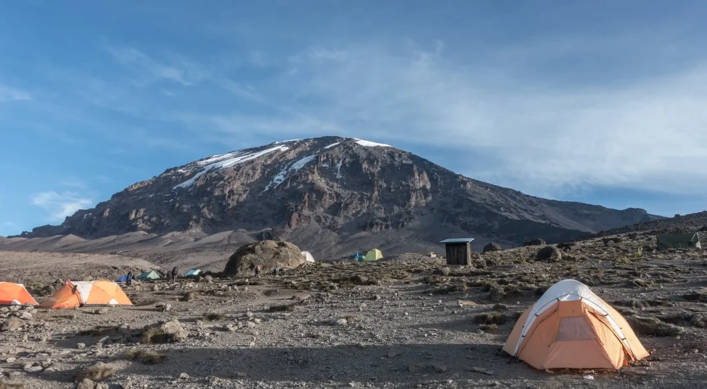
Karanga Camp to Barafu Camp
Karanga to Barafu • Gateway to the Summit

Starting Altitude: Approximately 4,035 metres
Finishing Altitude: Approximately 4,640 metres
Walking Time: Approximately 3–5 hours
Habitat: High alpine desert
After breakfast, leave Karanga Camp and continue toward Barafu.
The landscape becomes dry, rocky and exposed.
Vegetation is extremely limited.
The day is intentionally shorter, allowing climbers to arrive at Barafu with time to eat, rest and prepare.
Conditions may be cold and windy.
Your guide will conduct a detailed summit briefing covering:
- Departure time
- Clothing layers
- Headlamp
- Water management
- Snacks
- Group order
- Rest stops
- Communication
- Altitude symptoms
- Turning-back decisions
- Crater-rim conditions
- Expected descent
Organize all summit equipment before resting.
Important items should remain inside your tent and be easy to find in darkness.
Eat an early dinner and try to sleep.
Most summit attempts begin around midnight, although timing depends on weather, group condition and guide planning.
Barafu Camp to Uhuru Peak and Descent to Mweka Camp
Summit Day • Uhuru Peak • Descent to Mweka Camp

Starting Altitude: Approximately 4,640 metres
Highest Altitude: 5,895 metres
Finishing Altitude: Approximately 3,100 metres
Total Walking Time: Approximately 12–16 hours
Habitat: Arctic summit zone, alpine desert and moorland
Wake around midnight and dress in full summit layers.
Have a light meal or hot drink before beginning the final ascent.
The trail climbs steeply through darkness toward the crater rim.
The guide will maintain a very slow and controlled pace.
Possible conditions include:
- Freezing temperatures
- Strong wind
- Snow
- Ice
- Loose scree
- Dust
- Darkness
- Low visibility
- Extreme fatigue
Climbers may experience:
- Headache
- Nausea
- Weakness
- Cold hands and feet
- Shortness of breath
- Emotional changes
- Reduced coordination
- Difficulty concentrating
All symptoms must be reported immediately.
The guide has full authority to stop any climber when continuing would create an unacceptable safety risk.
Reach Stella Point at approximately 5,756 metres on the crater rim.
This is a major achievement.
Climbers who remain medically stable may continue toward Uhuru Peak.
The final route follows the crater rim past glaciers and high-altitude terrain.
Reach Uhuru Peak at 5,895 metres, the highest point in Africa.
Time at the summit is usually brief because of altitude, cold and possible crowding.
Take photographs and begin descending.
Return to Barafu Camp for a short rest and meal.
Continue downward to Mweka Camp.
The descent is long and may be difficult for tired knees and legs.
Dinner and overnight at Mweka Camp.
Mweka Camp to Mweka Gate
Final Descent • Mweka Gate Finish

Starting Altitude: Approximately 3,100 metres
Finishing Altitude: Approximately 1,640 metres
Walking Time: Approximately 3–5 hours
Habitat: Moorland and tropical rainforest
After breakfast, begin the final descent through moorland and rainforest.
The trail may be wet, muddy and slippery.
Trekking poles remain useful, especially after the demanding summit day.
Continue to Mweka Gate and complete park sign-out procedures.
Successful climbers may receive certificates according to the highest officially reached point and current park procedures.
Meet the vehicle and transfer to your hotel.
Enjoy a hot shower, clean clothes, a proper meal and well-earned rest.
Inclusions
- Pre-climb briefing
- Transfer from hotel to Londorossi Gate
- Trailhead transfer where required
- Return transfer from Mweka Gate to hotel
- Kilimanjaro National Park entrance fees
- Rescue fees
- Camping fees
- Professional licensed Kilimanjaro guide
- Assistant guides according to group size
- Mountain cook
- Porters
- Three meals per day on the mountain
- Treated or boiled drinking water
- Hot drinks during meals
- Mountain sleeping tents
- Dining tent
- Tables and chairs
- Government taxes and statutory levies
- Crew wages
- Emergency oxygen
- Basic first-aid equipment
- Health monitoring
- Kilimanjaro certificate for eligible climbers
Final inclusions should be confirmed in the official quotation.
Exclusions
- International flights
- Tanzania visa
- Travel insurance
- Medical and evacuation insurance
- Personal climbing equipment
- Sleeping bag unless rented
- Trekking poles unless rented
- Personal medication
- Vaccinations
- Hotel accommodation unless included
- Hotel meals unless specified
- Alcoholic beverages
- Personal expenses
- Laundry
- Tips for guides, cooks and porters
- Portable private toilet
- Additional oxygen for personal use
- Extra hotel nights
- Costs resulting from early descent
- Costs resulting from illness or evacuation
- Services not specifically listed as included
Visa & Entry Requirements
Most visitors need a visa to enter Tanzania for tourism. Requirements vary by nationality, so confirm your specific situation on the official Tanzania Immigration Services eVisa portal before you travel
Select your citizenship
More trips
-
Year-round• 8 DAYS / 8 NIGHTSGroup Safari9 Days Northern Circuit Route Kilimanjaro Climb
Londorossi Gate • Mti Mkubwa Camp • Shira Plateau • Moir Hut • Buffalo Camp • Third Cave Camp • School Hut • Uhuru Peak • Mweka GateShared safari -
Year-round• 8 DAYS / 7 NIGHTSGroup Safari8 Days Shira Route Kilimanjaro Climb
Shira Trailhead • Shira 2 Camp • Moir Hut • Barranco Camp • Barafu Camp • Uhuru Peak • Mweka Camp • Mweka GateShared safari -
Year-round• 7 DAYS / 6 NIGHTSGroup Safari7 Days Rongai Route Kilimanjaro Climb
Rongai Gate • Simba Camp • Kikelewa Camp • Mawenzi Tarn • Kibo Hut • Uhuru Peak • Marangu GateShared safari -
Year-round• 6 DAYS / 5 NIGHTSGroup Safari6 Days Marangu Route Kilimanjaro Climb
Marangu Gate • Mandara Hut • Horombo Hut • Kibo Hut • Uhuru Peak • Marangu GateShared safari -
Year-round• 7 DAYS / 6 NIGHTSGroup Safari7 Days Umbwe Route Kilimanjaro Climb
Umbwe Gate • Umbwe Cave Camp • Barranco Camp • Karanga Camp • Barafu Camp • Uhuru Peak • Mweka GateShared safari -
Year-round• 7 DAYS / 6 NIGHTSGroup Safari7 Days Machame Route Kilimanjaro Climb
Machame Route • Shira Plateau • Lava Tower • Barranco Valley • Barafu Camp • Uhuru Peak • Mweka GateShared safari
Speak to an Expert
Let one of our Quest Horizon Safari specialists design
your tailor‑made African adventure